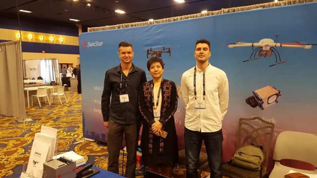
Our background
Founded in 2018, Altitude Geospatial Inc (AGI) is a Canadian owned consulting company and service provider that facilitates clients around the world. AGI was founded to fill the void between manufacturers and users of laser and imaging instruments. Altitude Geospatial provides a comprehensive solution for airborne, mobile, and terrestrial data collections, data processing services, technical services, sales, and consulting in the areas of Imaging, GNSS, Laser Scanners, UAS and Software.
“facilitates clients around the world“
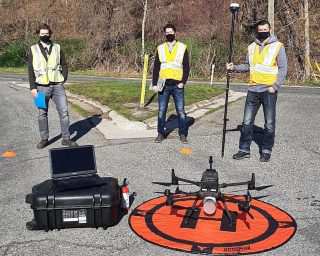
Altitude Geospatial Inc. is comprised of a team of project managers, registered land surveyors, Geomatics experts, system operators and data processors that are proficient in completing survey projects ranging from small corridor collections to large wide area projects (+10,000 kilometers squared in size) in a guaranteed time frame.
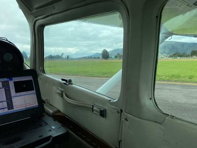
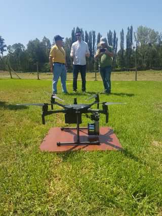
Altitude Geospatial Inc. has been working on LiDAR and photogrammetry projects in various countries around the world providing final deliverables for our clients with great success.
Altitude Geospatial Inc. has been working on LiDAR and photogrammetry projects in various countries around the world providing final deliverables for our clients with great success.
“data processing, analysis, system payload integration, troubleshooting services“
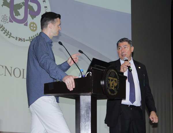
With over 25 years of experience in the LIDAR and imaging industry AGI is equipped to help users manage their projects, procure aircraft/equipment, generate mission efficiencies, perform data collections, data processing, analysis, system payload integration, troubleshooting services and equipment validation all in an expedited time frame. Through our experience in the global LIDAR and imaging industry along with abundant international travel to conduct projects, services, and sales for our clients, we are well equipped to provide customized solutions for any clients- geospatial needs. We leverage our experience gained from the wealth and variety of global geospatial projects we have completed to help our clients precisely find the data solution they require and provide support with training to ensure understanding, performance, and continued satisfaction.