Forestry
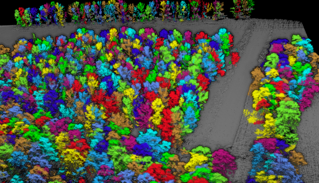
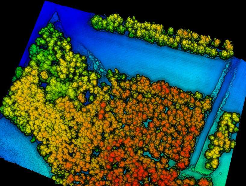
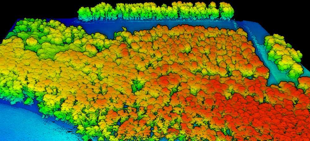
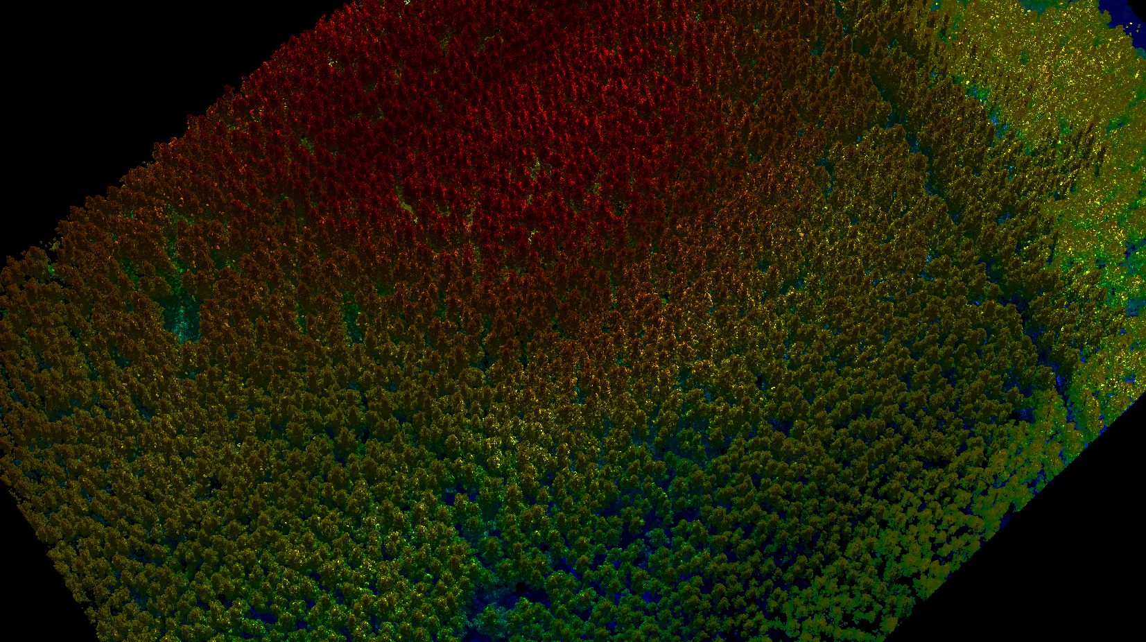
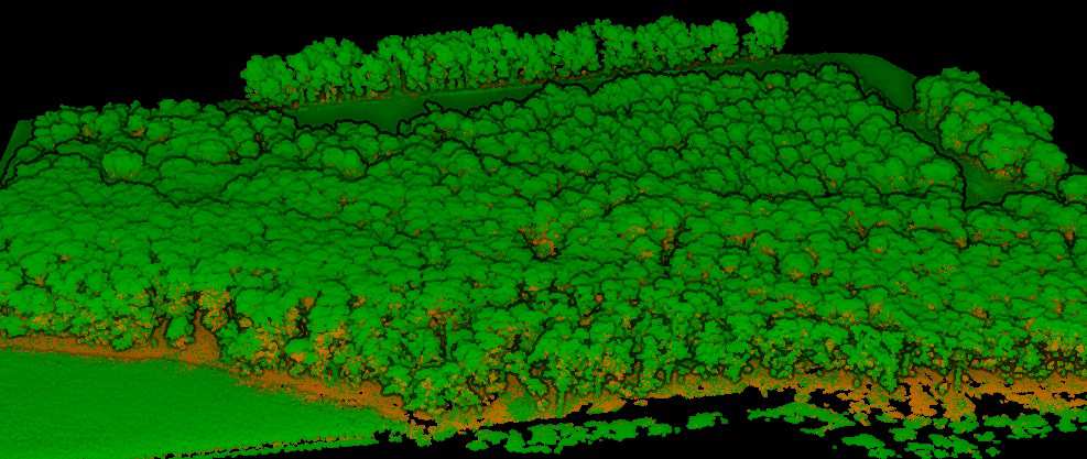
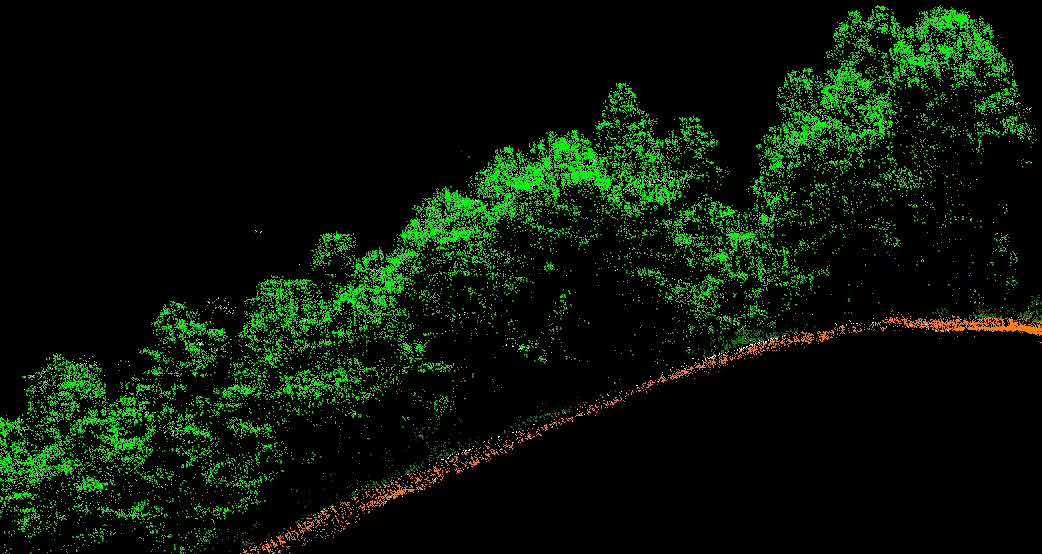
The forestry industry has been struggling with inaccurate data based on interpolations and sample measurements to represent its inventory.- The introduction of Lidar into this industry has been well accepted as the data provided by a fixed wing (large areas) or UAV (smaller areas) Lidar survey is much more accurate, complete and representative of the real world.-?-
No longer do you need to risk people by sending them into the rugged terrain to take manual measurements of your forest inventory.- AGI will perform the data collection for you.- We will supply you with a high-resolution digital terrain model (DSM, DTM, DEM) for your forest planning and management needs.- We can also perform classification of the data to derive reports on individual tree counts, species identification, volume calculations, canopy heights and forest density.- AGI can help the precision forestry industry identify areas of poor growth in order to optimize quality and yield of the plantation.-
Please contact us for more details about this solution and about more information on purchasing the equipment we sell for these services.-