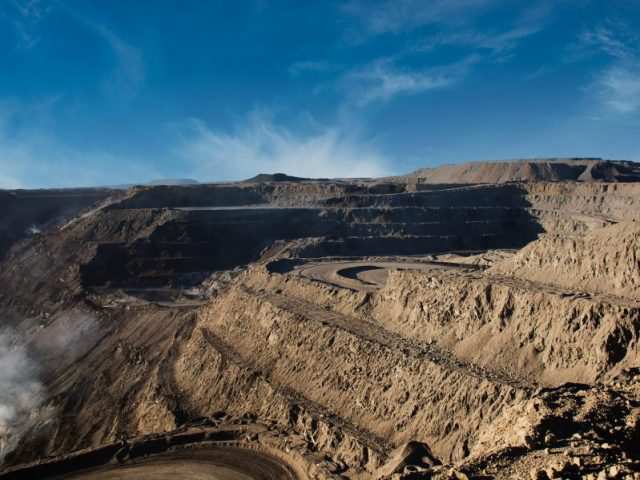
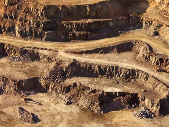
Mining
The mining industry is interested in- calculating the day to day volume levels of their stock, reserves and site arrangements in an efficient and- cost-effective- way.- This data is expected- on a daily basis- for planning and reporting purposes.-?Traditionally,- tripod-based- scanners were used to perform- these- tasks,- but they- were too interruptive to daily- operations and- took too long to setup around the mine to capture all the information needed.-?Currently, photogrammetry- and Lidar surveys- using UAV-s- are dominating the mining industry- to provide the necessary data.- -
AGI can perform both Lidar and photo- surveys- for mining companies using UAV platforms.- We can create terrain models of the mine, perform volumetric calculations of- stock piles, provide the solution including hardware, software, training and support to perform the tasks yourself.-
Please contact us for more details about this solution and about more information on purchasing the equipment we sell for these services.