Oil and Gas
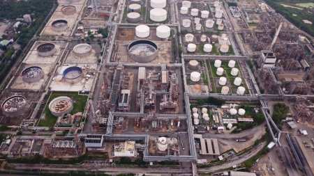
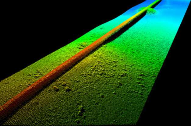
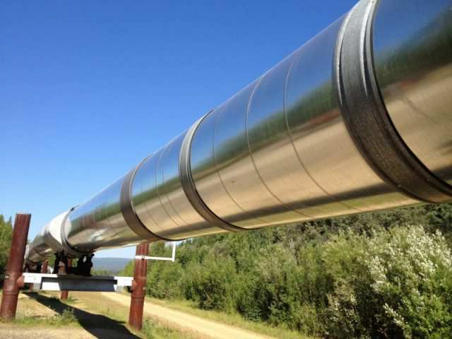
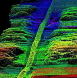
Lidar technology is important in the oil and gas industry because Lidar derived slope angle maps can be used to identify areas of higher oil and gas production.- Furthermore, there is a correlation between retreating glacier paths and subsurface areas that produce oil and natural gas.- 3D Lidar point clouds and aerial imagery is used in the planning stage of pipeline construction to identify the best, most- cost-effective- routing paths, potential environmental impacts on surrounding areas and monitoring for pipeline leaks.- -
AGI helps it customer by producing cost effective solutions for detailed terrain maps identifying areas of higher oil and gas producing, highlighting least cost paths of pipeline construction, identifying potential environmental risks to surrounding areas and reporting on potential pipeline leaks with the use of thermal sensors.-?-
Please contact us for more details about this solution and about more information on purchasing the equipment we sell for these services.-