Consulting, Operations & Repairs
Operator, Processor, Diagnostic and Repair Services
AGI puts to practice their full understanding of the LiDAR instruments and the industry by providing services for legacy sensor data, hardware and software, as well as services directed to companies that are new to geospatial Imagery and LiDAR data.
- Sensor Operator Contracting (LiDAR, Medium and Large format camera, Thermal and Multispectral Sensors)
- Data Processing In-Field Contracting
- Sensor Hardware Diagnostic and Repair
- Sensor and Data Calibration
- Troubleshoot Sensor Operational Issues
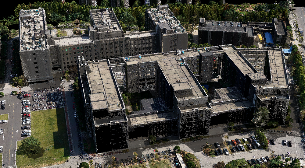
- BIM (Data Collection and Data Rendering)
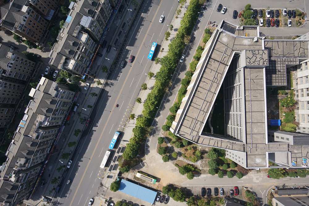
- Geospatial Data Network Setup
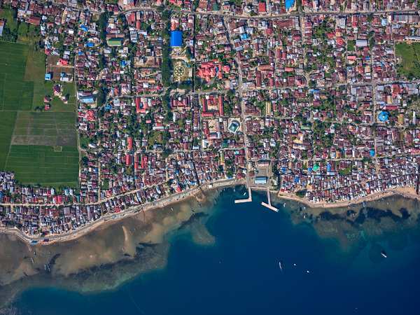
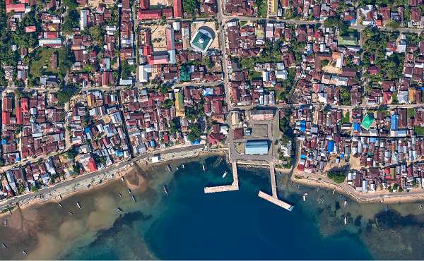
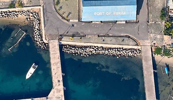
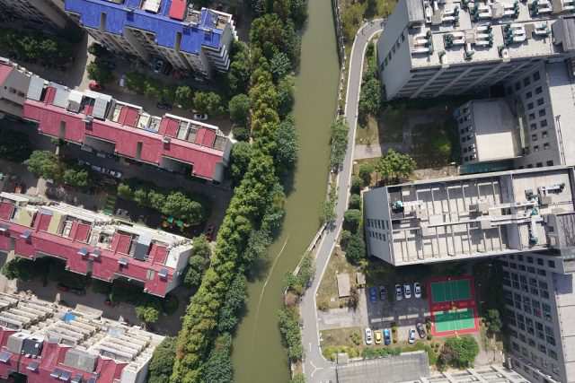
- Landuse and Landcover Mapping
- Utility Mapping
- Data Collection and Data Entry
- Sensor Operator Contracting (LiDAR, Medium and Large format camera, Thermal and Multispectral Sensors)
- Data Processing In-Field Contracting
- Sensor Hardware Diagnostic and Repair
- Sensor and Data Calibration
- Troubleshoot Sensor Operational Issues
- BIM (Data Collection and Data Rendering)
- Geospatial Data Network Setup
- Landuse and Landcover Mapping
- Utility Mapping
- Data Collection and Data Entry
AGI has 25 years of combined experience encompassing techniques, practices, diverse project experience, collection and data troubleshooting knowledge. Using these skills, knowledge and experience AGI ensures that it delivers its clients their sensor and data services with the highest accuracy achievable.
Noticing a new data phenomenon that you would like some answers to?
LiDAR calibration not holding from mission to- mission?
Looking for ways to fix data issues in your project data?
Intermittent hardware faults interrupting data collection?
We can help contact us- here.