#BIM #SLAM #INDOOR #MOBILE #AIRBORNE #DRONE #TERRESTRIAL #IMAGING #LiDAR #NIR #RGB #MULTISPECTRAL
SURVEYING & MAPPING
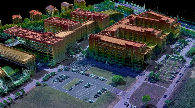
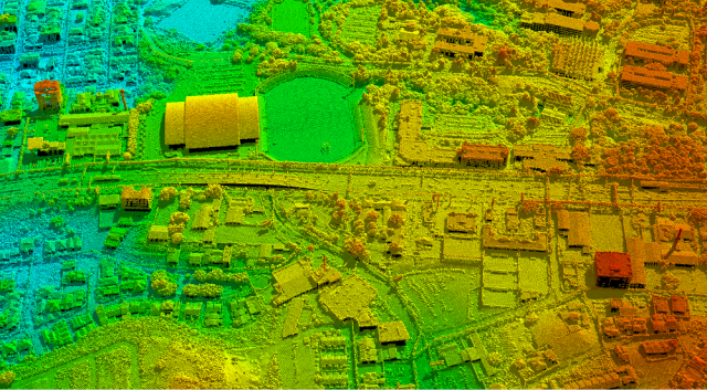
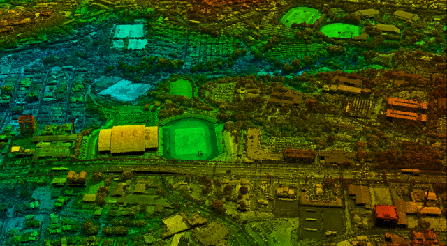
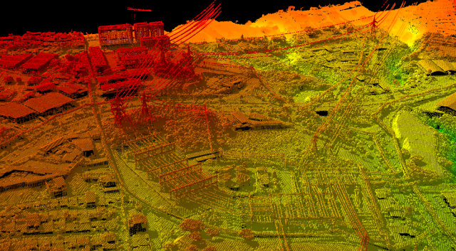
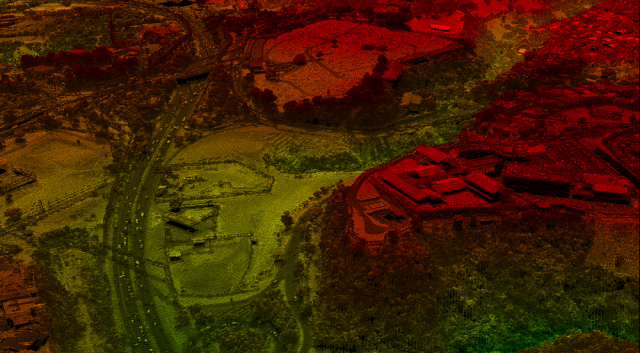
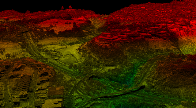
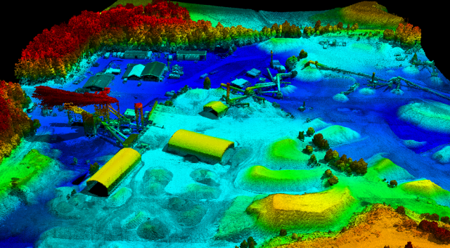
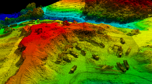
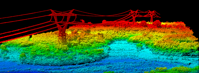
LiDAR
LiDAR data is commonly collected alongside other imaging mappers and sensors such as RGB, CIR, 4band, thermal, multispectral and hyperspectral. This pairing of LiDAR data with photogrammetric data provides an exceptionally comprehensive data model with highly accurate range measurements that are aided with the imagery for colourization or target feature analysis.
Imaging
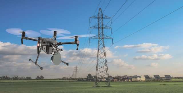
The photogrammetric sensor options of today offer the flexibility to be mounted from a diverse platform selection, such as airborne, mobile and UAV. Geospatial imagery is used in a variety of applications either as a standalone product or in aiding an accompanied sensor for increased geospatial data analysis. Some applications are forestry, agriculture, plantation, mining.
SERVICES
-Project execution from launch through to final deliverables
-Project Planning
-Logistics and Management
-Sensor Integrations, Sensor Operations
-Data Pre and Post Processing
-Custom Requirements for your Point Cloud needs
-Aerial Flight line Matching, Registration
-Point Cloud Classification; DTM and DSM creation, Hydro flattening, Power line, Vegetation and custom classification
-Contour Generation
-Feature Extraction and Post Processing Deliverables
-Concatenate LiDAR Data Sets Collected Across Platform Types
- BIM (Data Collection and Data Rendering)
- Geospatial Data Network Setup
- Landuse and Landcover Mapping
- Utility Mapping
- Data Collection and Data Entry
Whether you require- wide area- orthometric- photo maps, LiDAR corridor surveys, RGB point clouds, multispectral imagery analysis to yield crop efficiencies, or anything in between, we can help, reach out to us- here
-